The Old Settlers Trail in the Great Smoky Mountains National Park is not for the weak at heart. It’s a 15.8 mile trail that takes hikers from the Ramsey Cascades Road to the trail’s junction with the Maddron Bald Trail. And while it may see daunting length-wise for some people, it makes up for it with the number of historic Smokies sites found along the way.
Simply put, if you’re into history, and especially the history of the Smoky Mountains, the Old Settlers Trail is one not to miss.
To reach the Old Settlers Trailhead, travel east from Gatlinburg on U.S. 321 and turn onto Greenbrier Road at the national park entrance. You’ll pass the picnic area and ranger’s station, then cross a bridge toward the Ramseys Cascade Trailhead. The Old Settlers Trailhead will soon come up on the left.
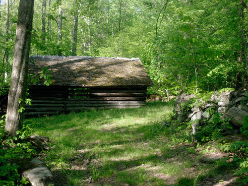
Standing chimneys and old rock walls are commonplace on the Old Settlers Trail and give hikers a glimpse at mountain life before the Smokies were designated a national park. You’ll also pass over more than a dozen creeks during the hike. If you’re backpacking the trail, it’s a relatively enjoyable two-day trip if you decide to use backcountry campsite No. 33.
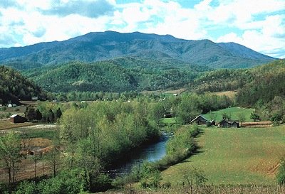
The trail starts out along the Little Pigeon River on fairly level ground as you make your way through what was the Greenbrier community. A couple general stores and churches made up the area in the early 1900s and supported hundreds of farming families at one time. Records also show that 250 children were educated at the community school. The communities were removed when land was sold to make way for the Great Smoky Mountains National Park.
Bird Branch is crossed 0.3 miles in before climbing and descending a ridge. Moving along, you’ll reach Copeland Divide where you can see Greenbrier Pinnacle to the east. After a short hike along the ridge, you come to Copeland Creek which flows to the Little Pigeon, and which you must cross. Snakefeeder Branch is crossed a few times as you keep moving on the trail and you’ll notice a standing chimney at a point. Soak Ash Creek is also crossed a number of times during this part of the hike. Its tributaries make their way through and around the Old Settlers Trail.
The trail forks 5 miles in, take to the right up to Evans Creek. More rock walls and chimneys are passed as you move along Evans Creek before you reach backcountry campsite No. 33 – a heavily used site. From here, you descend along the trail to Ramsey Creek. You’ll cross the creek at a beautiful rock chimney that’s a popular place for photo opportunities. You’ll cross the creek four more times as you notice old homesites and the like along this portion of the trail.
Next, you’ll turn right at a roadbed 8.9 miles in to keep on the Old Settlers Trail, hiking along Noisy Creek and traveling upward. Points along the trail titled Tumbling Branch and Chestnut Ridge are hiked through. Here, forests and creeks are passed as you explore the depths of the Smokies. You’ve also now reached the highest point along the trail. From here, it’s a downward hike to Texas Creek at 10. 7 miles in. You’ll notice as many as four home sites following the creek crossing and a number of small waterfalls that develop.
Bear to the right at the fork in the trail at mile 11.7. One of the better rock walls you’ll encounter on the Old Settlers Trail is at mile 12.5 and it eventually borders the trail on both sides. You’ll follow the Webb Creek from here and pass a number of home sites along the creek.
Hiking on, Indian Camp Creek is passed over by way of a newly erected foot log. You’ll soon rock hop Maddron Creek – the final creek crossing before coming to the Maddron Bald Trailhead and the finale of the Old Settlers Trail. Happy hiking!
 With the weather getting better by the day in East Tennessee, one of the most popular activities to enjoy in the Gatlinburg, Tennessee area is backpacking, or hiking. The
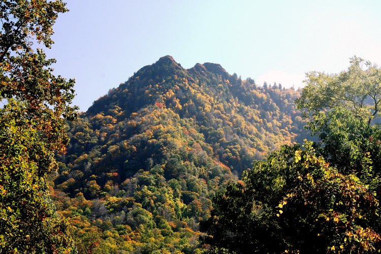


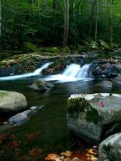 Hiking trails are open all year round in the park. Each season brings its own set of views and experiences, and a hike any time of the year can be both a healthy and educational experience for anyone. Springtime offers copious amounts of blooming trees and flowers. Summertime is the time to splash in a cool mountain stream or picnic alongside a serene waterfall. The
