In no way is this a scientific study, it’s just our opinion of the hiking trails found in the Great Smoky Mountains. It’s actually a list of our favorites in no certain order. Following years and many miles of trail study, we’ve put together a short list of BEST hikes found in the park and within close proximity to Gatlinburg.
Alum Cave Trail
A moderately difficult hike, the trail to Alum Cave Bluffs is 4.4 miles round-trip as you make your way to the 80 foot tall, 500 foot long bluff. Prior to reaching the cave, look east toward the Eye of the Needle and see peregrine falcons nesting on the outcroppings. The views from the cave also attract many a weekend photographer. Locals and manufacturing companies once mined Epsom salts from Alum Cave.
Forney Ridge Trail
This is a fairly easy hiking trail in the Smokies that begins at the Clingmans Dome parking lot and travels 1.7 miles to the top of Andrews Bald. The elevation does gradually climb over 900 feet on this trail despite it easy nature. Those of you who do decide to take the Forney Ridge Trail must be aware of the rocky path as loose rocks can appear in all shapes and sizes. Once you’ve reached Andrews Bald you realize how it got its name. It’s an open, grassy area that people flock to for pictures and various outdoor activities year round. Also, the views of the Great Smoky Mountains National Park from the Bald are unbelievable.
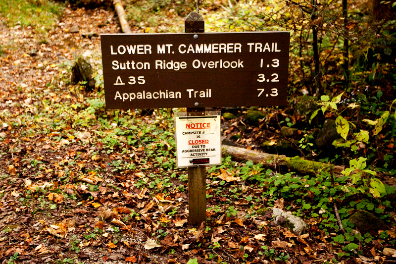
Mt. Cammerer
This 12 mile round-trip hike is not for the weak at heart or the novice hiker. Over the course of the trip, the trail climbs 2,500 feet from its beginnings at the Low Gap Trailhead in Cosby to its finale at the summit of Mt. Cammerer. The views here will simply take your breath away. If you feel up to, climb the stone fire tower that provides a full 360 degree view of the area.
Porters Creek
The Porters Creek hike is a pretty easy 4 mile round-trip jaunt beginning in the Greenbrier area of the park. This is a great hike for viewing old Smoky Mountain homesteads, and you might catch a waterfall too. Wildflowers are prevalent here during the spring. The old John Messer farm is located about a mile from the trailhead down a side path. The old homestead features a cabin and a cantilevered barn.
Rocky Top
Another rather strenuous trail that remains pretty famous in these parts due to its name, the Rocky Top Trail is 12.5 miles of Smoky Mountain hiking from the Anthony Creek trailhead, located in the Cades Cove picnic area. Hikers will cross Spence Field as they make their way along the trail. This is an area that is a must stop for photogs on sunny days. During the spring, this area turns into a pink and white blanket of laurel flowers.
The Jump-Off
Starting at the Newfound Gap parking lot, this trail is 6.5 miles round-trip and travels 2.7 miles down the Appalachian Trail before turning onto the Jump-Off path. The Jump-Off features a 1,000 foot cliff, which represents the northeastern flank of Mt. Kephart.